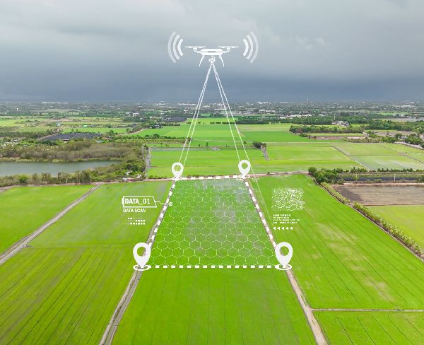
Drone Mapping
- UAV based aerial imaging to capture high resolution geospatial data over large and complex areas
- Rapid acquisition of orthophotos, DSM/DTM models, point clouds, and 3D surface reconstructions
- Centimetre level accuracy when combined with GCPs, RTK/PPK workflows, and precise flight planning
- Progress tracking, volumetric analysis, cut fill calculations, and asset inspection with high repeatability
- Geo referenced imagery suitable for GIS integration, engineering design, and project documentation
- Multiple UAV equipment and drones for various applications including Lidar-equipped UAV
Your Maps, your World, captured in three dimensions
Accurate, reliable geo-mapping solutions tailored to your needs