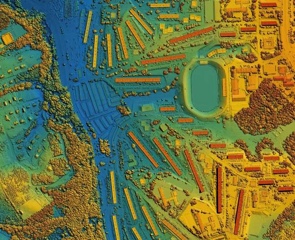
Lidargrammetry
- Airborne, mobile, and terrestrial LiDAR processing
- Point cloud classification
- High resolution elevation modeling
- Corridor mapping for railways, highway corridors, utilities, city modeling and large-scale infrastructure planning
Your Maps, your World, captured in three dimensions
Accurate, reliable geo-mapping solutions tailored to your needs